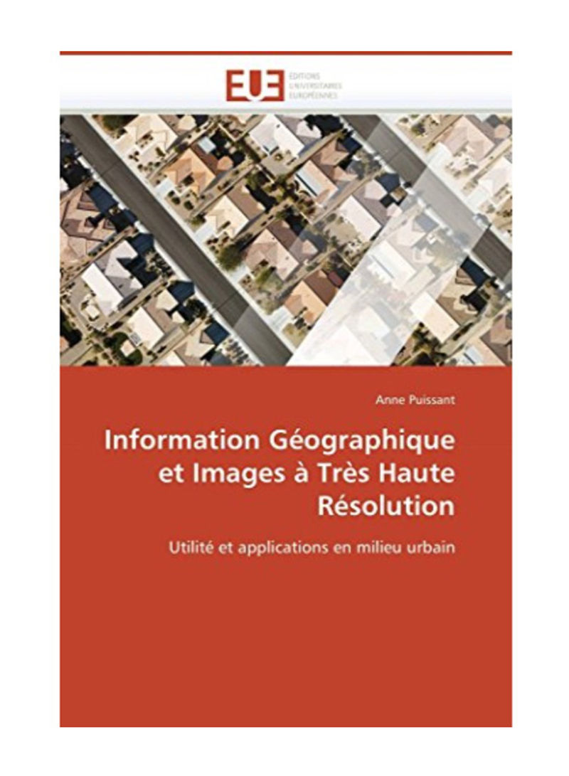
Information Geographique Et Images A Tres Haute Resolution Paperback
Recommend
Sort by
Rating
Date
Specifications
Author 1
Anne Puissant
Book Description
Territory management requires the use of multi-source, multi-scale and regularly updated data. Satellite imagery is a potential source of geographic information (GI) in urban areas. A reflection on the needs is essential to answer the multiplication of the use of GI on various scales. From an investigation, a specification specifying the needs for large-scale information is established. Potential niches for using metric images are identified. Tests are applied to analyze the gains in the use of these new sensors. One of the challenges of increasing spatial resolution is a new vision of the territory closer to reality. Urban objects are individualized and characterized by their constituent elements. This input of detail disrupts conventional automatic extraction procedures and complicates the assignment of objects to existing nomenclatures. The testing of several classical algorithms leads to the formalization of rules for the identification of urban objects. These rules are integrated into an object-oriented image analysis.
ISBN-13
9786131515934
Language
French
Publisher
Omniscriptum
Number of Pages
452


