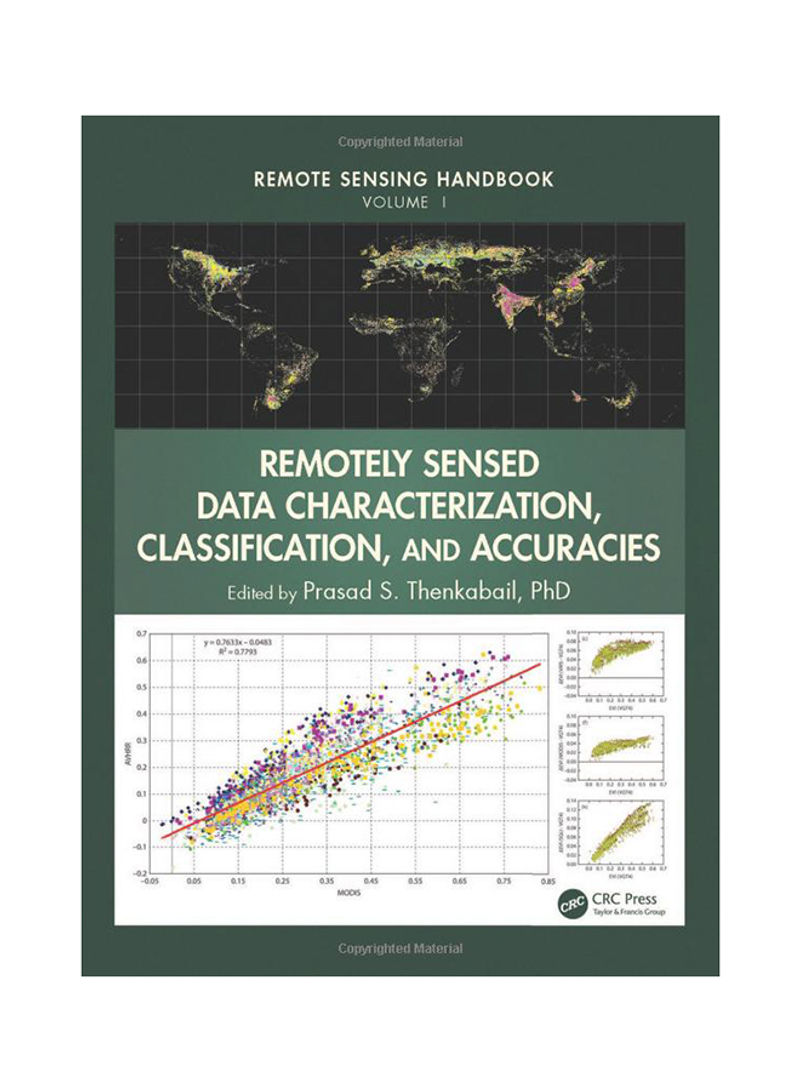
Remotely Sensed Data Characterization, Classification, And Accuracies Hardcover
Recommend
Sort by
Rating
Date
Specifications
Book Description
A volume in the Remote Sensing Handbook series, Remotely Sensed Data Characterization, Classification, and Accuracies documents the scientific and methodological advances that have taken place during the last 50 years. The other two volumes in the series are Land Resources Monitoring, Modeling, and Mapping with Remote Sensing, and Remote Sensing of Water Resources, Disasters, and Urban Studies.This volume demonstrates the experience, utility, methods, and models used in studying a wide array of remotely sensed data characterization, classification, and accuracies for terrestrial applications. Leading experts on global geographic coverage, study areas, and array of satellite and sensors contribute to this unique handbook. This theoretical as well as highly practical book represents a thorough history of advancement in the field over last 50 years, bringing us to where we are now, and highlighting future possibilities.
ISBN-10
1482217864
ISBN-13
9.78148E+12
Language
English
Publisher
Apple Academic Press Inc.
Publication Date
10/1/2015
Number of Pages
678
Editor 1
Prasad Srinivasa Thenkabail
Editorial Review
"I have had the pleasure and honor to be involved in the field of remote sensing for nearly 50 years. To say that much has changed and been accomplished in this field over this time period is a severe understatement. It would require literally hundreds of experts on a global basis to characterize the history, scope, utility, dynamism, and future outlook for remote sensing. It is this exact feat that is accomplished through the contributions of over 300 highly respected, international researchers and practitioners in the production of Remote Sensing Handbook (three volumes). This comprehensive treatise sets a new standard for spanning and integrating discussion of remote sensing principles, data, methods, development, applications, and scientific and social context. It will be an invaluable multidisciplinary reference for many years to come." - Dr. Thomas M. Lillesand, Emeritus Professor of Remote Sensing, University of Wisconsin-Madison, USA, and chief author of the most widely read Remote Sensing and Image Interpretation


